

Parts of England and Wales could be hit by up to three inches of rain in just a few hours from tonight as the end of August looks set to be a washout.
The Met Office issued a yellow weather warning for southern England and Wales with up to 70mm (2.8in) of rain set to fall between 10pm today and 12pm tomorrow.
Wet and windy conditions will sweep in for the final days of meteorological summer, with showers and longer spells of rain falling over much of the UK from tonight.
The 14-hour warning covers London and the whole of England’s south coast, while a separate yellow alert is also in place for South Wales from 8am until 4pm today.
Forecasters said heavy showers could merge into longer spells of heavy rain later today, which would likely reach South West England and South Wales by tonight.
These downpours will then push quickly east to affect other parts of southern and south-eastern England including the capital into tomorrow morning.
The Met Office said not everywhere will see heavy rain – but up to 20mm (0.8in) in less than an hour is possible; and up to 70 mm in a few hours, most likely near coasts.
Meteorologists believe some flooding in these wetter areas is possible, while a few showers could also be ‘accompanied by the odd rumble of thunder’.
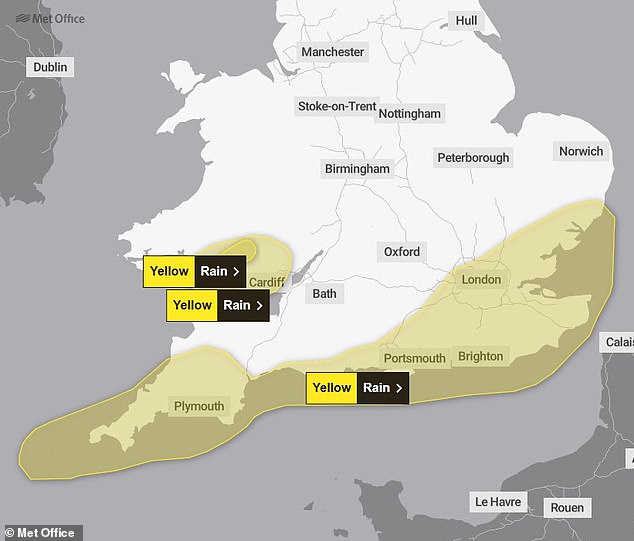
The Met Office issued a yellow warning for rain between 10pm today and 12pm tomorrow
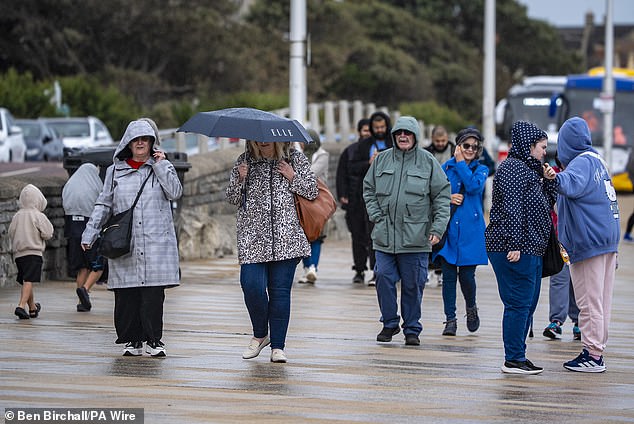
Umbrellas come out on the promenade at Weston-super-Mare in Somerset yesterday
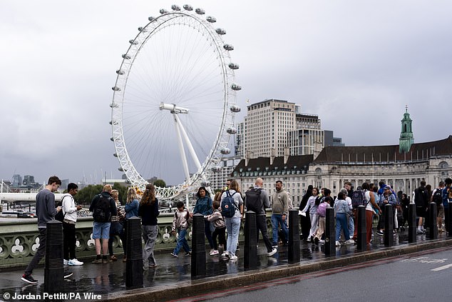
Pedestrians walk in front of the London Eye in Westminster on a wet day yesterday
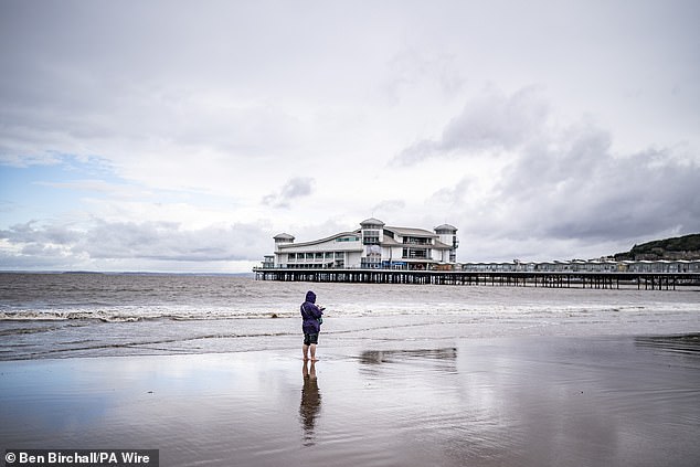
People on the beach at Weston-super-Mare in Somerset during wet weather yesterday
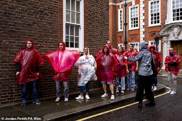
A group of tourists in ponchos shelter from the rain in Westminster yesterday
Temperatures will be in the high teens for most areas today, with highs of around 20C (68F) in London and the South East and 15C (59F) in Scotland and Northern Ireland.
On Tuesday, the Met Office said this summer would ‘almost certainly’ be the UK’s warmest on record as the mean average temperature for the season stood at 16.13C (61.03F), based on data up to August 25.
This is higher than the existing summer record of 15.76C (60.37F), which was set in 2018.
Zoe Hutin, a senior meteorologist at the Met Office, said: ‘Given the last two and a half month’s of hot weather, temperatures have been sufficiently above average that the comparatively lower temperatures coming will not significantly affect the mean temperature of the meteorological summer.
‘Even taking that into account the rain and cloud which is forecast, it’s still going to likely be the warmest on record.
‘Mean temperatures would need to be around 10 degrees or so for this summer not to surpass the current hottest summer, and so it’s almost certainly going to be a record-breaker.
‘Temperatures are actually still a little bit above what is normally expected at the end of August, especially for the South East of the country.
‘For the North and North East, despite the rain and cloud, the temperatures will actually be around the average for this time of year, despite feeling a little bit cooler because of the unsettled conditions.
‘Urban spots especially could be around average or even a couple of degrees above average in places. So it looks likely it will still almost certainly be a record-breaking summer in terms of average temperatures, unless something drastic were to happen.’
A spell of more persistent rain is forecast over the weekend, with up to 20mm likely across many regions.
Strong winds could also hit, particularly along coasts, with gusts in excess of 50mph.
If this season is confirmed as setting a new high for average temperature, it will mean all of the UK’s top five warmest summers will have occurred since the year 2000.
The top five are currently 2018 (15.76C), 2006 (15.75C), 2003 (15.74C), 2022 (15.71C) and 1976 (15.70C).


