

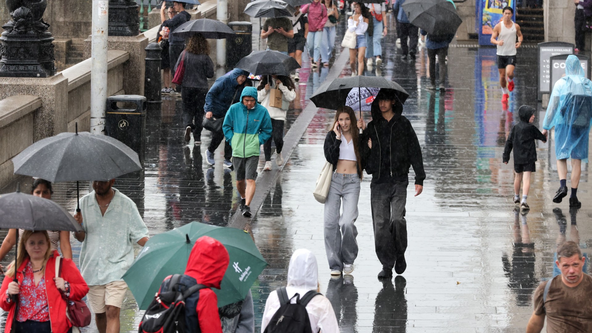
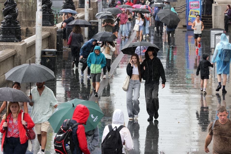
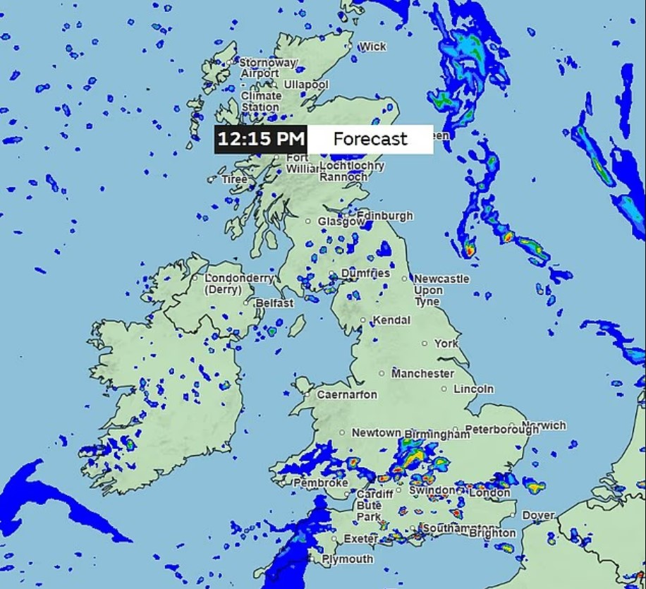
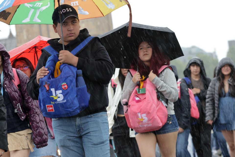
STORM clouds are gathering over the UK as the Met Office issues a yellow thunderstorm warning – with more than two inches of rain set to fall in just two hours.
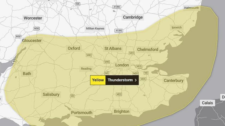
The warning, covering London and the South East as well as the South West and East of England, runs from 10am until 9pm on Thursday and could hit millions of Brits.
5
5
5
Forecasters have warned of torrential downpours, flash floods and “difficult driving conditions” with the potential for travel disruption across road and rail networks.
In a statement, the Met Office said: “Thunderstorms and heavy showers are expected to develop during Thursday morning and through the afternoon.
“These could produce torrential downpours in a few places with as much as 25-35mm of rain falling within an hour and perhaps 60mm within 2 hours.
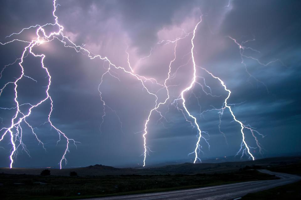
“Frequent lightning and hail will be additional hazards.
“Storms will tend to become more confined to the south and east of the warning area later in the afternoon before dying out during the evening.”
Meteorologists say some areas could be hit with a week’s rainfall in an hour.
Forecaster Clare Nasir said: “The rain slides down towards Wales, West Country, central southern England into Thursday morning.
“And we’ll see some damp weather also across the north and the west of Scotland.
“Some sharp showers with the risk of thunder likely through the afternoon across central and southern parts of England and Wales. We could see some impactful weather here.”
The Met Office has assessed the potential impact of the storms as “medium”, though the Environment Agency currently has no flood warnings in place.
But the London Fire Brigade urged residents to prepare in case of sudden flash floods.
A spokesperson said: “The warmer weather we have been having will dry out and crack soil. This makes it harder to absorb and soak up a sudden and heavy downpour.
“Couple this with torrential rain and we could see streets and homes flooded.
“Our firefighters know what they need to do in a flood, but it’s important Londoners know as well and follow our flooding advice.”
Tips include preparing a “grab bag” with essentials in case you need to leave home, using sandbags to protect properties, and checking on neighbours.
Drivers are also urged not to attempt to drive through flooded roads.
The warning comes after Britain endured a wildly changeable summer – swinging from record-breaking heatwaves in June and early July to washouts in recent weeks.
A hosepipe ban imposed earlier this month remains in force, affecting 8.5million customers across South East Water, Southern Water, Thames Water and Yorkshire Water.
While the downpours may bring relief to parched gardens, meteorologists warn that wet and windy weather looks set to dominate heading into August, with “unseasonably deep” low pressure systems moving in.
The Met Office added that conditions should turn “broadly changeable” by mid-August, with the chance of some drier and more settled spells later in the month.
5
5


