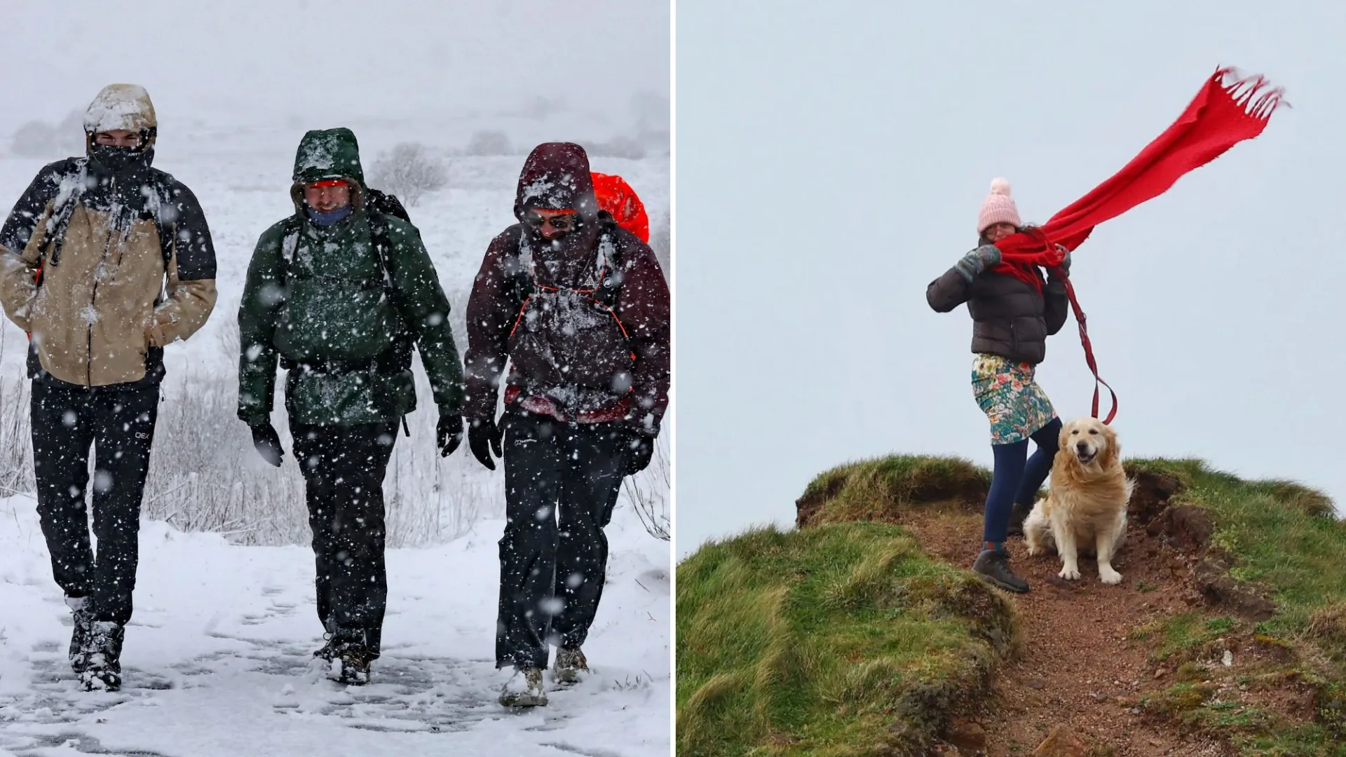
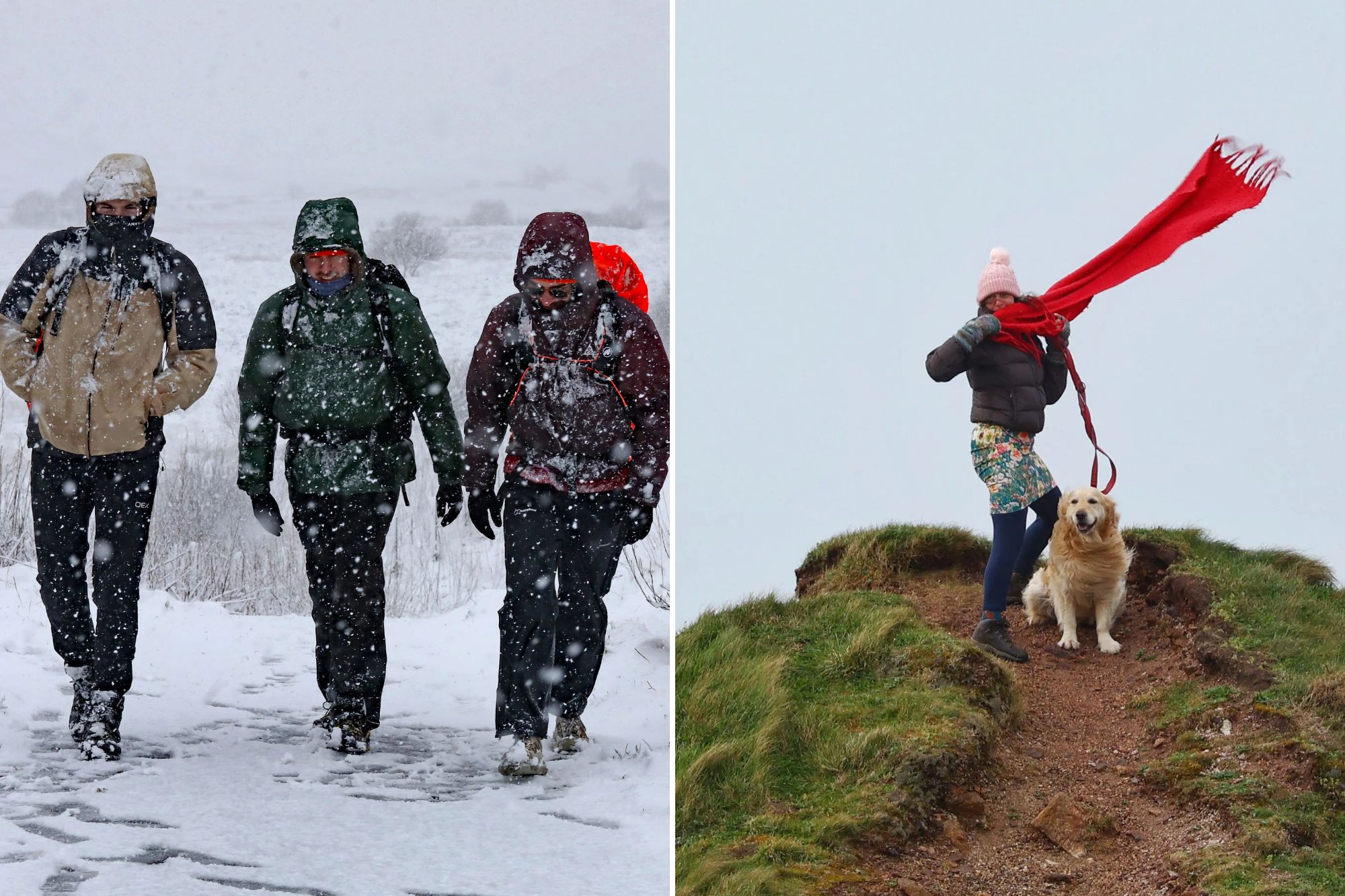
BRITS are bracing for more Storm Dave misery as “widespread downpours” are forecast to hit Britain today.
Strong winds hit 93mph yesterday with temperatures plummeting to -3C – causing travel chaos across much of the UK.
And the Easter weather woes will continue today as flood warnings are in place across parts of the country.
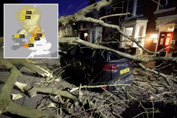
Yesterday, the Met Office upgraded a severe yellow weather warning for wind to amber, meaning flying debris could lead to “injuries or danger to life”.
This primarily affected the north of the UK, with amber wind alerts in place across northern England, north-west Wales and southern Scotland which was lifted at 3am this morning.
Wales was also under a yellow wind alert, but this was lifted at 7am this morning.

Following “severe gales” and winds of up to 93mph, roads were closed and train services disrupted early this morning.
Traffic Scotland warned that several major bridges had restrictions in place due to the strong winds, including the Queensferry Crossing on the M90, which connects Edinburgh with Fife and the nearby Forth Road Bridge on the A9000.
The Humber Bridge linking East Yorkshire with north Lincolnshire reopened after being closed in both directions to high-sided and vulnerable vehicles early on Sunday due to strong winds, National Highways reported.
Elsewhere, ScotRail confirmed emergency speed restrictions would be implemented across parts of its network, resulting in longer travel times.
In England’s north, Network Rail Manchester announced rail replacement bus services would run between Manchester Picadilly and Chester due to overnight weather conditions.
The forecast is expected to clear up throughout today, but two yellow wind alerts remain in place until noon for parts of northern England and Scotland.
The Met Office’s forecast for Easter Sunday said: “Storm Dave will clear northeast on Sunday morning, leaving sunshine and widespread showers across the UK.
“Northern areas will see the heaviest, blustery showers and feel cold, while temperatures elsewhere stay closer to average for early April.”
As of 7am today, there were four coastal flood warnings and 32 flood alerts across England and eight coastal flood alerts in Wales.
In Scotland, 12 flood warnings and eight flood alerts remained in place.
The Energy Networks Association, which represents electricity network operators, warned of potential power cuts and issued safety advice following the weather warnings.
It said in a statement on Saturday: “The storm has the potential to affect local power infrastructure, increasing the risk of a power cut and fallen power lines.
“Network operators are increasing staffing for operational teams, and moving spare equipment to where the weather is expected to be most disruptive, so it’s ready to use if needed.”
As the Easter bank holiday continues, Storm Dave will move into the North Sea which will ease weather conditions today.
Rain and wind will continue across Scotland and Northern Ireland, but most of England and Wales will enjoy more settled weather.
On Easter Monday there will be dry conditions thanks to a ridge of high pressure bringing sunny spells to most areas after a chilly Sunday night.
Next week will likely see warmer weather before more unsettled conditions return in the midweek, with cloud and rain likely to come in from the west.