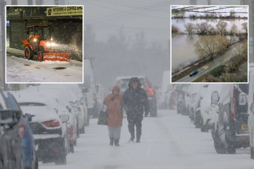
MORE snow has been forecast for the UK as the aftermath of Storm Goretti continues.
The Met Office has revealed exactly when snowy conditions are expected in England this week.
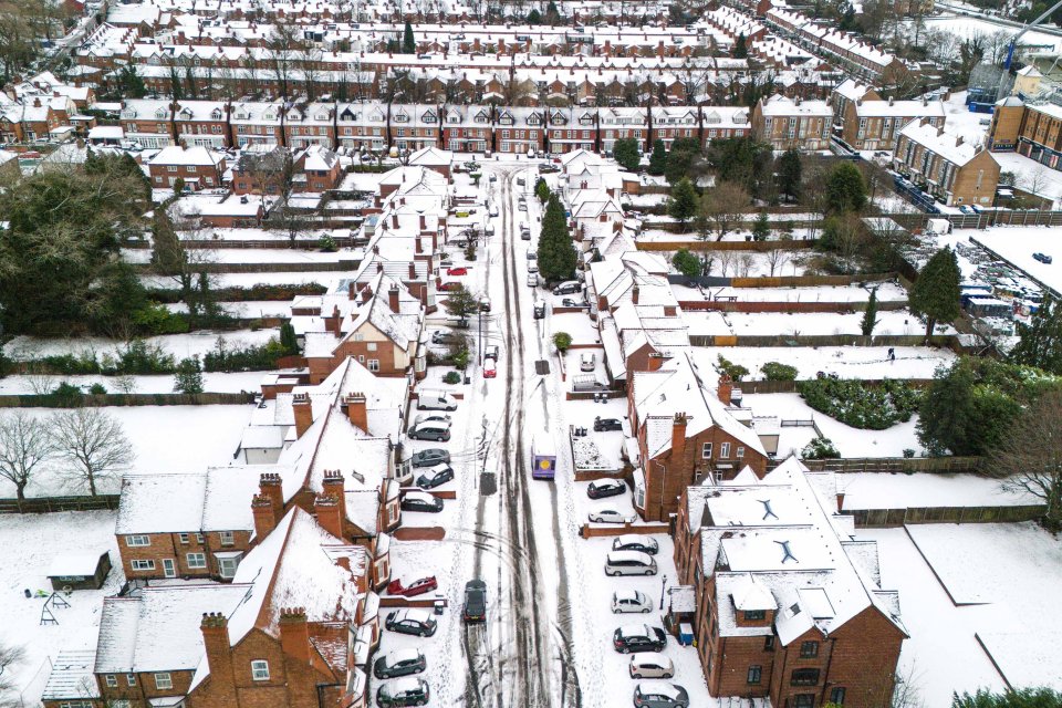
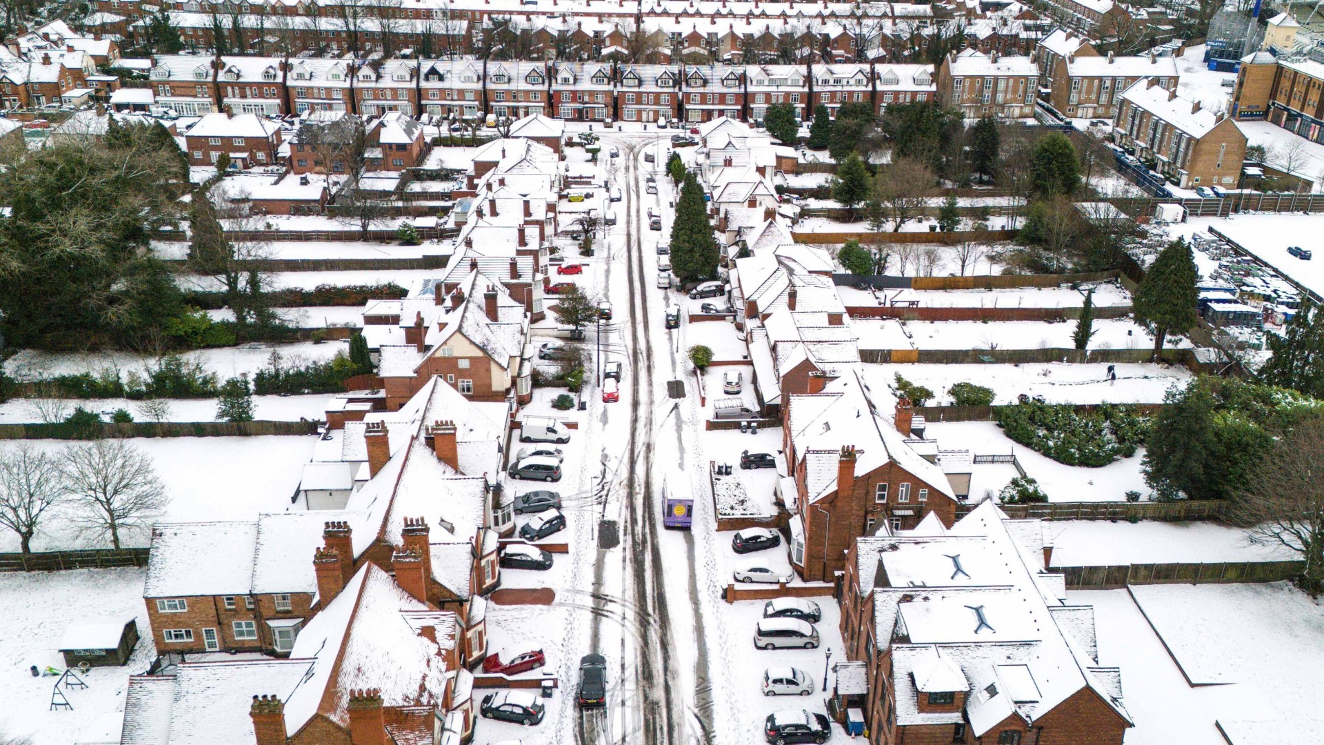
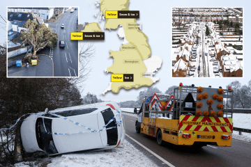
While heavy snowfall has already blanketed many parts of the UK during the first storm of the year, more flurries are yet to come.
In the aftermath of Storm Goretti, which brought gusts of almost 100mph in the south west, a number of weather warnings remain in place today.
And according to forecasters, more wintry weather could be on its way later this week.
In its 10-day trend, issued on January 8, the Met Office said: “The UK will find itself in a battleground between dense, cold air and milder, wetter air from the Atlantic.
Read More On Storm Goretti
“Where these air masses meet, there is a real likelihood of further snow, potentially heavy in places.”
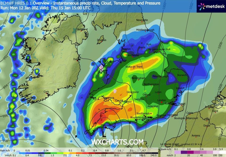
And Thursday, 15 January has been earmarked as the date for the next heavy snow in England.
While Scotland and the North of Ireland are expected to bear the brunt, wintry conditions are still expected in England, as well as Wales.
High grounds such as the Peak District are at a higher risk of snowfall, particularly in the evening.
According to weather charts, the worst of the weather will be around 6pm on Thursday, with the Met Office warning UK households.
Wet and windy weather is expected to push northeastwards throughout Thursday, the Met Office reports.
This will then be followed by blustery showers on Friday, with milder conditions in the south of the country.