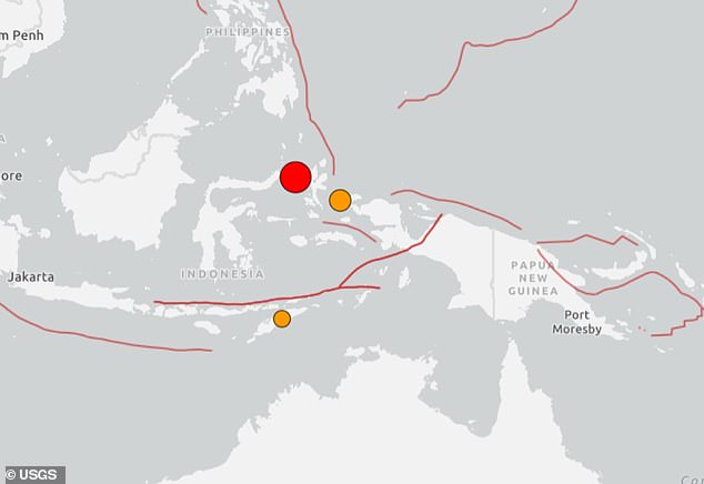
A huge 7.4 magnitude earthquake has struck off the coast of Indonesia according to the United States Geological Survey (USGS).
The USGS reported the quake struck at 9.48am (AEDST), with assessments finding it had a depth of 35km.
The epicentre was recorded as 127km west northwest of Ternate, Indonesia, which has a population of 205,000.
‘This area of the Molucca Sea frequently hosts moderate to large earthquakes,’ the USGS noted.
The Pacific Tsunami Warning Centre is advising of potential tsunami threats to Indonesia, Philippines and Malaysia.
The US monitoring centre has issued a warning of possible ‘hazardous tsunami waves’ within 1,000km of the epicentre.
The Bureau of Meteorology confirmed that Australia’s coast was not under threat from a tsunami.
The 7.4 magnitude earthquake is the second largest recorded anywhere around the world in 2026.
The 7.4 magnitude earthquake struck off the coast of Indonesia on Thursday morning
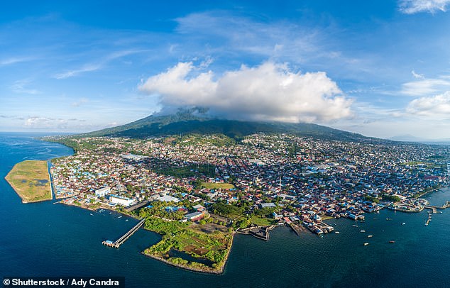
The epicentre was recorded 127km west northwest of Ternate
Indonesia recorded more than 43,000 earthquakes in 2025, but most were small and caused limited damage. The majority were earthquakes with a magnitude of less than 5, while 153 earthquakes had a magnitude higher than 5.
The United States Geological Survey ranks Indonesia as the most seismically active country in the world, followed by Chile and Japan.
On average, there is a magnitude 7 earthquake every year.
An earthquake with a magnitude of 8 or more occurs every five to seven years on average.