
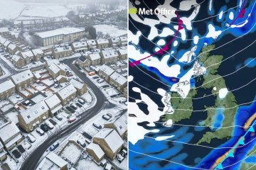
FEROCIOUS winds of up to 70mph are set to batter Britain today, as forecasters warn that snow is on the way.
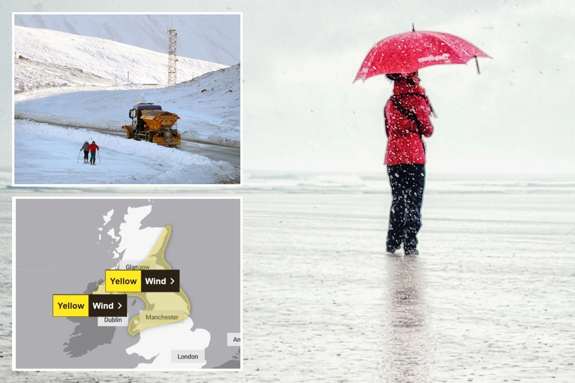
The Met Office has issued multiple yellow wind warnings covering Scotland, Northern Ireland, northern England, North Wales and the north Midlands.
Brits across the country face rain and powerful gusts as a cold front sweeps south through the country today.
Forecasters said strong winds are associated with an “active weather front moving southeastwards across the UK”.
The warning, covering North Wales, northern England and large swathes of Scotland, came into force at 5am and will last until 8pm.
Meanwhile Northern Ireland is under a separate alert running from 6am until midday.

In Scotland and Northern Ireland, the worst of the stormy conditions are expected during the morning, with widespread gales of 50–60mph and even stronger blasts possible in exposed areas.
The Hebrides could briefly see even more powerful gusts, forecasters said.
Further south, winds across northern England, the north Midlands and North Wales will strengthen through the morning before peaking later in the day.
Gusts are expected to widely hit 50–60mph, with blasts above 70mph possible for a short time.
And it won’t just be coastal areas feeling the force.
The fierce winds are expected to push far inland, reaching areas east of the Pennines and the Cheviot Hills.
The Met Office warned of potential delays to road, rail, ferry and air transport.
Motorists have been warned conditions could be particularly tricky on northern stretches of the M6, A68 and A1, where high-sided vehicles may struggle in the powerful gusts.
In Wales, a number of ferry services crossing to Ireland have already been cancelled amid the yellow wind alert.
Restrictions on the Britannia Bridge have been imposed banning bikes, motorbikes and caravans crossing over safety concerns.
But the stormy weather isn’t finished yet.
Once the heavy rain clears, colder air will sweep in, bringing frequent showers tonight and into Friday.
Those showers will turn wintry across northern parts of the UK.
Snow is expected over higher ground in Scotland, Northern Ireland, northern England and North Wales above around 200 metres.
The highest Scottish peaks could even see 10–20cm of snow settle, forecasters warned.
Friday will bring sunshine mixed with fast-moving showers, especially across the north and west.
The blustery spell has been driven by a powerful Atlantic jet stream, with winds at around 220mph high in the atmosphere.
That has helped spin up deep areas of low pressure, which — despite being far northwest of Britain — are still close enough to whip up powerful winds across the UK.
Yesterday the wild conditions were already being felt, with gales widely reported in Scotland.
The strongest gust hit 74mph at South Uist Range in the Hebrides, while Orkney recorded 68mph winds that forced the cancellation of some ferry services.