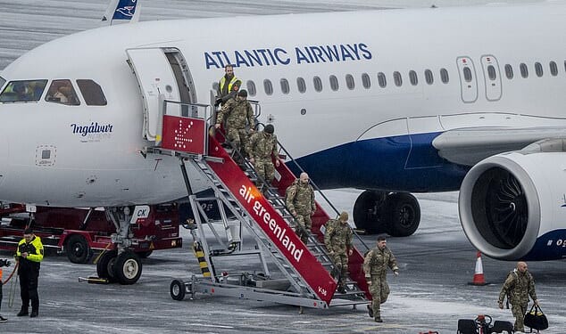
SCHOOLS around the country are still closed today, as temperatures drop to a bone-chilling -12C amid rare ‘thundersnow’ warning.
Yesterday, hundreds of schools were shut due to the winter weather – and dozens remain closed today.
The Met Office has issued multiple yellow warnings for ice across the country lasting until midday today after what may have been the coldest night of the year.
Temperatures fell as low as -12C overnight as the UK’s cold snap continued.
According to the Met Office, the coldest temperature was recorded at Loch Glascarnoch in the Scottish Highlands, with the mercury dipping below -7C across much of the country.
Temperatures were slightly milder in England and Wales, with lows of -6C at Trawsgoed in Ceredigion, Wales and -4C at Rostherne, Cheshire.
Forecaster Simon Partridge said the chill stemmed primarily from “a little ridge of high pressure moving across the UK overnight”, adding “the main difference between that and previous nights is the winds are a lot lighter”.
He said that much of the country will see frost this morning but that later in the day there is expected to be widespread sunshine.
He said: “Friday is really the end of the really cold weather as things turn back to average by the time we get into the weekend.”
The Met Office has a spate of yellow ice warnings in place across the UK on Friday morning, including north, east, south-east and south-west England, northern and south-eastern areas of Scotland and north and west Wales.
It comes after hundreds of schools were forced to close, roads were disrupted and homes were left without power because of snow.
Coastal regions across all corners of the country have been warned of icy conditions until 11am and 12pm.
The same warnings were in place for the south west of England, Northern Ireland and the east of England tonight.
The Met Office warned people to leave for journeys earlier than usual, as to not rush and risk falling on slippery patches.
Elsewhere, the north east of England were braced for wintry showers and power cuts – with amber alerts in force.
It comes as Brits have been warned to brace for a potential outbreak of “thundersnow” as temperatures continue to plunge.
What is thundersnow?
Thundersnow is a freak phenomenon where heavy rain, usually associated with thunderstorms, falls as snow.
Also known as a thunder snowstorm, it is a type of storm with thunder and lightning that has snow falling instead of rain.
The Met Office said thunderstorms usually happen in the summer months when warm air under colder air wants to rise.
However when thunderstorms form in wintry conditions they can sometimes give rise to a heavy downpour of snow rather than the usual rain.
It is incredibly rare in the UK, but it is still possible – less than five in a quiet year to 20 or more in an active one.
Met Office meteorologist Emma Sharples said: “It is possible, all that really needs is for thunder to happen at the same time as the snow.
“So where you get very active or vigorous showers… then we could well get some thunder as well. It is definitely possible.”
The North York Moors and the Scottish Highlands could see blizzard conditions – or ‘thundersnow’ – fall following a harsh Arctic wind which could move across the north of Scotland, the Met Office warned.
Sharing an explainer of the weather phenomenon, the Met Office said there is a “chance of thundersnow in the forecast this week”.
Thundersnow – also known as a thunder snowstorm – is a basically a type of storm with snow falling instead of rain.
It happens during a snowstorm and is caused when the atmosphere is unstable.
The forecaster also warned the phenomenon may appear in Northern Ireland, eastern England, west Wales and south-west England.
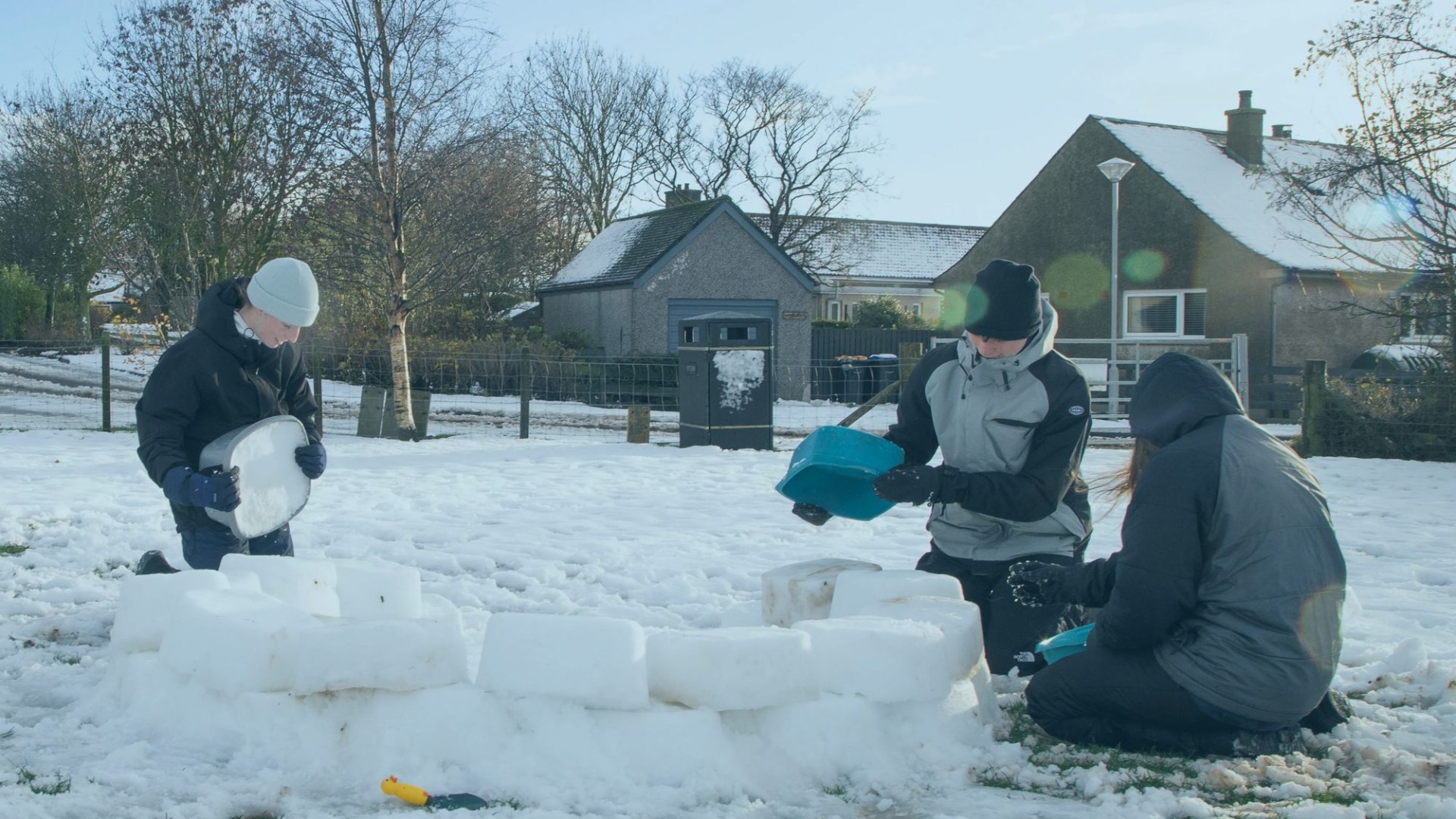
Earlier in the week, motorists were forced to abandon their vehicles and villages were cut off following heavy snow and sub-zero temperatures.
The Met Office confirmed the coldest recorded temperature in the UK yesterday was -6C in Benson, Oxfordshire.
Up to 10 inches of snow were forecast to fall on higher ground as the mercury plummeted to as low as -12C.
Speaking yesterday, Chief Forecaster Steve Willington said: “We’re still in the grip of a cold, Arctic air mass today and into Friday.
“That means further wintry showers for some, and ice, particularly overnight.
“Multiple warnings are currently in place, with new warnings for the overnight period issued.
“Temperatures will fall sharply again, with lows potentially reaching -12C in parts of Scotland and widely below freezing elsewhere tonight.
“As temperatures fall overnight, ice will form on untreated surfaces and may cause some travel disruption tonight and into Friday morning.”
Residents in the North York Moors and Scottish Highlands were braced for blizzard conditions – or ‘thundersnow’ – fall following a harsh Arctic wind.
Sharing an explainer of the weather phenomenon, the Met Office said there is a “chance of thundersnow in the forecast this week”.
Schools around the country closed yesterday as blizzards coated the UK in snow and amid freezing conditions.
On Wednesday night, motorists were forced to abandon their vehicles and villages were cut off following heavy snow and sub-zero temperatures.
Drivers were forced to abandon their cars and some communities were cut off due to the severe wintry weather.
There were around 100 school closures in place across Scotland yesterday, due to the hazardous conditions, and 36 in Wales.
The Met Office said a weather station in Altnaharra, in the Scottish Highlands recorded a whopping 9cm of snow earlier in the week.
Meanwhile, Dyce in Aberdeenshire had 6cm of the white powder.
Elsewhere, Lake Vyrnwy in Powys, Wales, recorded 4cm, Boulmer in Northumberland saw 3cm of snowfall and Bodmin in Cornwall had 2cm.
The five spots where snow is set to hit this week
rits are braced to be stung by Arctic cold conditions, sweeping wintry hazards and snow and ice across the country.
Wintry showers, including snow, are predicted to pummel Scotland, Northern Ireland, the North Yorkshire Moors, west Wales and the moors of southwest England on Tuesday and Wednesday.
But it will be dry and sunny for most areas on Thursday, with overnight frosts.
The Met Office revealed on X yesterday that the evening of November 15 was the coldest night in the UK since March 20, 2025.
Drivers in North Yorkshire were urged to stay off the roads unless absolutely necessary.
While gritters and snowploughs tackled dangerous conditions.
And more than 600 homes in Pembrokeshire, Wales, were left without power.
The heaviest snow was forecast over the North York Moors and parts of the Yorkshire Wolds.
By the end of the day, nearly 10 inches were said to have accumulated on hills above 100m.
The Met Office added: “Gusty winds, giving occasional blizzard conditions, and perhaps a few lightning strikes, may accompany some of the showers, posing as additional hazards.”
Six further yellow weather warnings for snow and ice were also in place today, covering coastal areas, as well as much of Scotland.
The UK Health Security Agency issued amber and yellow cold-health alerts, in place until Saturday across northern England and the Midlands.
On Wednesday, Met Office chief forecaster Neil Armstrong warned Brits of the arrival of “cold Arctic air” from the north.
He said: “Cold Arctic air from the north is firmly in charge of the UK’s weather… bringing the first notable cold snap of this autumn and giving an early taste of winter weather.
“As a result, winter hazards are likely through the next few days, with snow and ice a particular hazard.”
It comes after abandoned vehicles littered isolated roads on Wednesday evening due to heavy snow and the sub zero temperatures.
Here is a list of schools that we understand are closed for the day – or opening late.
If your child’s isn’t on the list and you have doubts, contact their school.
Full list of closures
Aberdeenshire
- Towie School
- Aboyne Academy
- Aboyne Primary School
- Alford Academy
- Alford Primary School
- Braemar School
- Banchory Academy Ballogie Nursery
- Banchory-Devenick School
- Craigievar School
- Crathie School
- Crossroads Nursery, Durris
- Drumblade School
- Durris School
- Finzean School
- Gordon Primary School
- Gordon Schools
- Gourdon School
- Kennethmont School
- Lairhillock School
- Largue School
- Lumphanan School
- Newtonhill School
- Monymusk School
- Rhynie School
- Strathdon School
- Tarland School
- Torphins School
- Towie School
Highlands
Devon
Pembrokeshire
- Portfield School – Haverfordwest
- Puncheston Community Primary School
- Ysgol Clydau – Tegryn
- Ysgol Gymunedol Brynconin – Llandissilio
- Ysgol Gymunedol Maenclochog
- Ysgol Llanychllwydog – Gwaun Valley
- Ysgol Bro Preseli
- Cilgerran Church in Wales VC School
- Lamphey Primary School
- Neyland Community School
- Prendergast Community Primary School, Haverfordwest
- St Aidans Church in Wales VA School, Wiston
- Ysgol Bro Gwaun, Fishguard
- Ysgol Bro Ingli, Newport
- Ysgol Caer Elen
- Ysgol Gymunedol Brynconin
- Ysgol Gynradd Gymunedol Eglwyswrw


Carmarthenshire
- Maes y Morfa
- Pwll
- Beca
- Bro Brynach
- Dyffryn Taf
- Laugharne