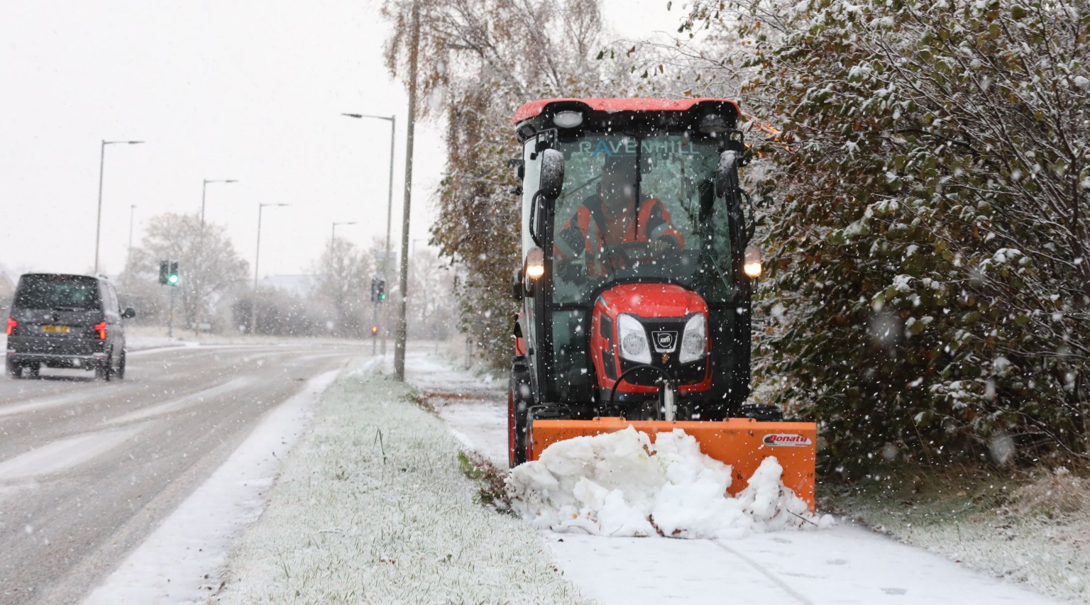
THE Met Office has revealed which UK spots could see snow this week as temperatures look set to plummet to -7C.
It comes as the clean up in the wake of the devastation caused by Storm Claudia continues.
And the weather shows no sign of letting up, with Brits braced to be stung by Arctic cold conditions, sweeping wintry hazards and snow and ice across the country.
“On Tuesday, there is a small area of low pressure that is going to bring in a band of rain, sleet and hill snow,” Met Office meteorologist Simon Partridge told The Independent.
Wintry showers, including snow, are predicted to pummel Scotland, Northern Ireland, the North Yorkshire Moors, west Wales and the moors of southwest England on Tuesday and Wednesday.
But it will be dry and sunny for most areas on Thursday, with overnight frosts.


The Met Office revealed on X yesterday that the evening of November 15 was the coldest night in the UK since 20th March 2025.
“Temperatures got down to minus 7 degrees Celsius in Tulloch Bridge, Scotland,” the forecaster revealed.
Today, the UK Health Security Agency issued a cold weather warning for parts of the Midlands and northern England from Monday.
The alert is in place from 8am until 8am next Friday and covers the East Midlands, West Midlands, North East, North West and Yorkshire and the Humber.
The UK recorded its coldest night since March on Saturday when temperatures dropped to -7C in Tulloch Bridge in the Highlands.
Met Office deputy chief meteorologist Dan Holley said: “As Storm Claudia retreats to the south, high pressure to the north west will drive a cold northerly flow from the Arctic across the UK.
“This will bring much colder conditions than of late and, whilst generally drier than recent days, there will also be a risk of wintry hazards, such as snow and ice.
“There will be widespread frosts across the UK, with temperatures dipping as low as -7C in places next week, and daytime temperatures staying in single figures across the country.
“Couple this with a brisk northerly wind, and there will be a marked wind chill.
“This will be a notable change in our weather after a prolonged spell of above-average temperatures.
“People should keep an eye on the forecast in their area as it is possible warnings may be issued for snow and ice at times.”
RAC Breakdown spokesperson Alice Simpson said: “There’s potential for freezing temperatures to make roads hit by heavy rain very slippery with a chance of ice.


“We expect breakdown volumes to be around 10% higher than what’s normal for this time of year, which equates to around 1,000 more people needing our help each day.
“Normal indicators of autumn, like fallen leaves on the road, can also become very hazardous in icy conditions as they create an extra layer between tyres and the road surface, increasing the likelihood of skidding.”