STORM Claudia will bring the UK its first snow of the season with temperatures across the country expected to plummet to -1C.
The storm will bring lashing rain for much of England and Wales on Friday and into early Saturday, with Amber warnings issued by the Met Office.
The rain will spread north as the storm rolls over the island followed closely by wave of freezing air.
Into next week it will become noticeably colder across the whole country as the rainy weekend draws to a close, the Met Office predicts.
Some northern regions will likely see temperatures plummet to a brisk -1C as chilly winds blow in from the west.
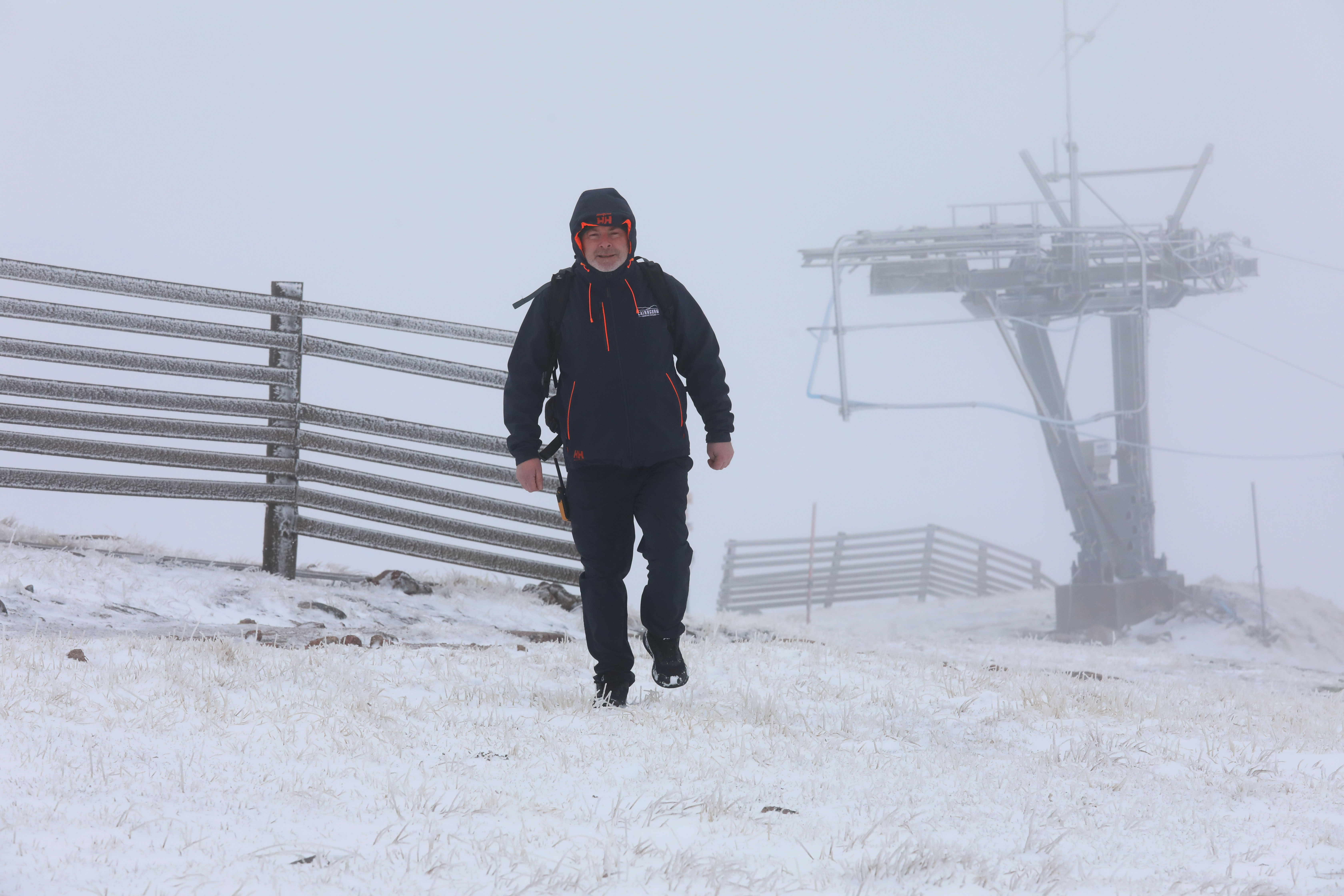
The chill is expected to bring the first snow of the season for some parts of the UK, according to the Met Office.
While storm Claudia won’t directly cross the UK, it is responsible for the heavy rain on Friday and into Saturday.
By the weekend the entirety of the UK will be much colder and wetter as winter gets well and truly underway.
Heavy rainfall is expected, particularly in the west, with temperatures beginning to plummet and amber weather warnings issued.
In southern England storm Claudia is expected to bring flooding, power cuts and travel disruption for many, the Met Office warns.
Some areas are facing up to 150mm of rain with the amber warning in place from noon until the end of the day on Friday.
By the start of next week the cold snap will worsen in the wake of storm Claudia.
It could bring snowfall and overnight frosts to southern Scotland and the north east of England.
As the week draws on temperatures will continue to drop, by Friday next week several parts of the country will be subjected to freezing temperatures.
In the early hours of Friday November 21 much of south-western Scotland and north-western England will be gripped by -1C temperatures.
A brisk northerly wind will make the freezing temperatures even colder and is expected to blow in a dusting of snow over Kendal, Glasgow and Edinburgh.
Met Office Chief Meteorologist Matthew Lehnert said: “Storm Claudia will bring very heavy rainfall to a large swathe of central and southern England and Wales on Friday into Saturday.
“This rain will become slow moving, and some areas could see up to a month’s worth of rain in 24 hours.
“Much of this will fall on saturated ground, increasing the chances of flooding and contributing to the Amber warnings we have issued.
“Within the Amber warning areas, some could see in excess of 150mm accumulate during the event, with 60-80mm fairly widely.
“Gusty winds in the northwest of England and northwest Wales is an additional hazard, with 60-70mph gusts possible in exposed places within the warning area.”


