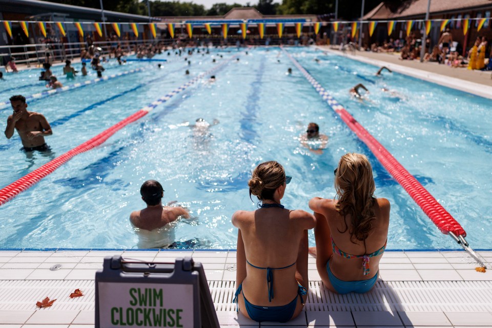
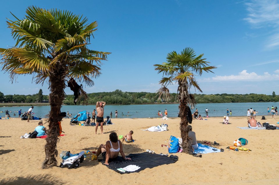
SUNSEEKERS are set to bask in glorious weather today – with temperatures expected to reach a balmy 34C.
Brits will be flocking to beaches and parks to make the most of the sunshine, but have been warned that thunderstorms are on the way.
7
7
7
7
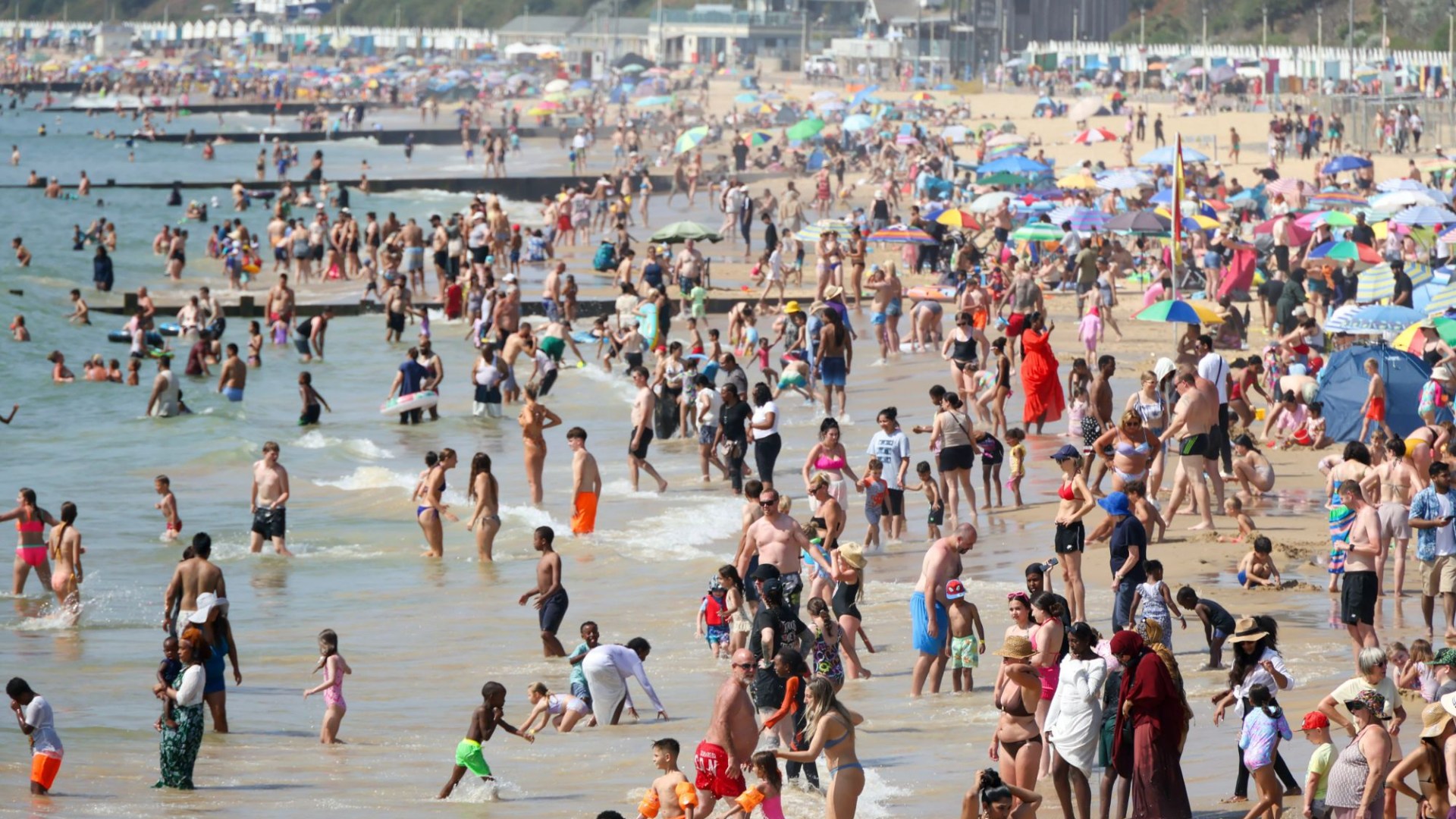
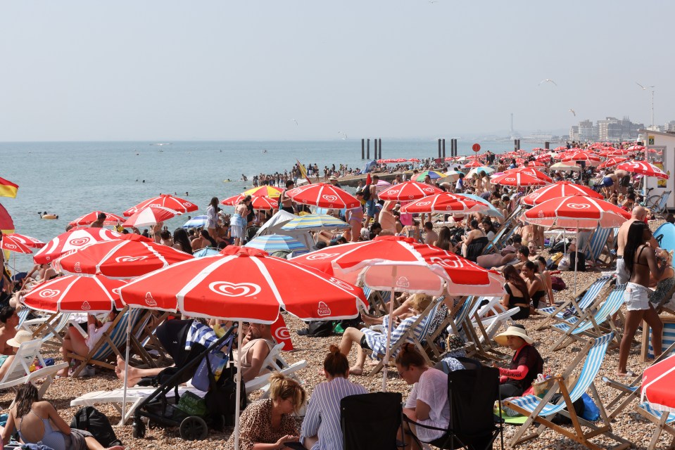
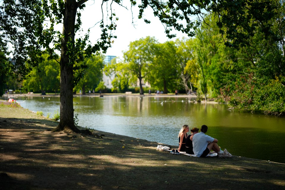
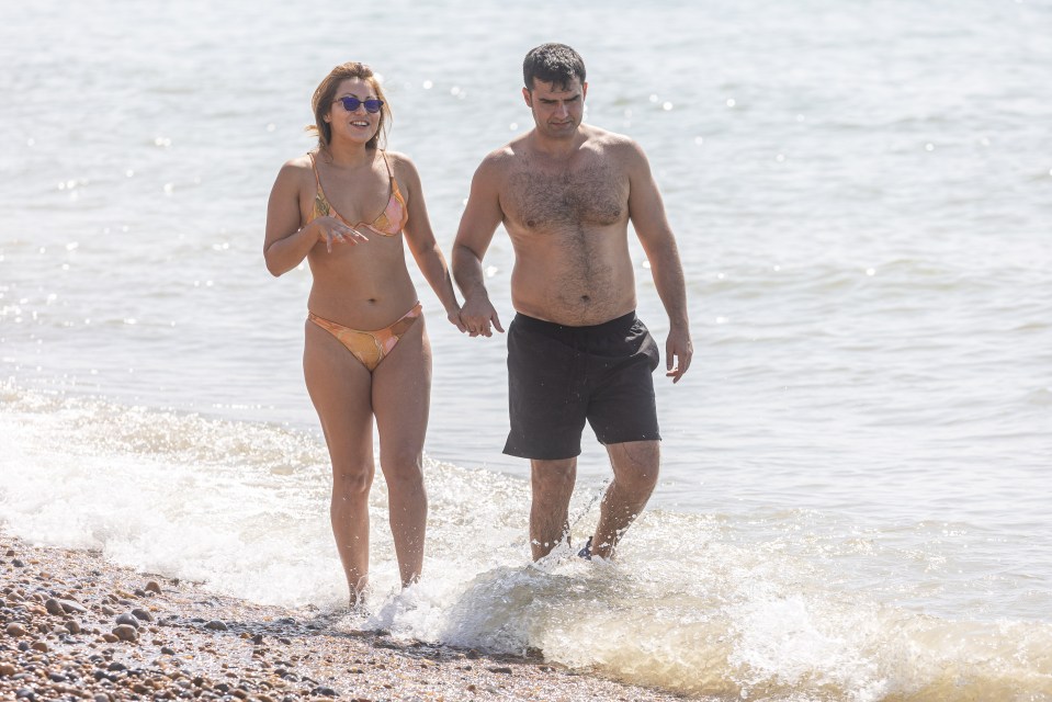
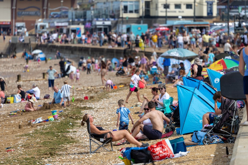
Beachgoers made the most of the 33C highs yesterday as the country continues to bask in its fourth heatwave so far this summer.
And the mercury is set to keep rising today, with a sensational 34C anticipated for some parts of the UK.
The warmest weather is expected this afternoon along the east coast of England, particularly in Lincolnshire and Yorkshire.
But the Met Office has warned some areas, including the south east of England and parts of Scotland, could face thundery showers.
Meteorologist Marco Petagna said: “Wednesday will be mostly dry with further very warm or hot sunshine.
“It will be another warm and hot day with maximum temperatures of 33C to 34C, highest in Lincolnshire and Yorkshire.
“But we will see some showers, particularly in the South East during the afternoon and also a few affecting Scotland during the day, which could turn heavy and thundery.”
Yesterday, sunseekers were spotted at beaches in Brighton, Southend and Bournemouth enjoying the warm weather.
Families tucked into ice cream and had a dip in the cooling water with the delightful weather arriving just in time for the school holidays.
Pictures show beaches heaving with Brits lounging under parasols and basking in the blazing sunshine.
Families were out sunbathing and swimming along the coast, making the most of the gorgeous conditions while it lasts.
The highest readings were recorded in Benson, in Oxfordshire, Ross-on-Wye in Herefordshire, and Northolt in west London.
The all-time hottest August day was 38.5C in Faversham, Kent, on August 10 2003.
While the hottest day of 2025 so far was 35.8C, also in Faversham, last month.
Met Office meteorologist Greg Dewhurst said on Monday that the UK is on day two of the heatwave and there is “overall a very hot, very warm week to come”.
The Met Office defines a heatwave as temperatures meeting or exceeding a certain threshold for three consecutive days or more.
This is 25C for most of the UK, but rises to 28C in London and its surrounding area, where temperatures are typically higher.
The near continent is experiencing high temperatures with France reaching the low 40Cs on Monday.
The UK Health Security Agency (UKHSA) reminded people of the importance of staying safe and issued heat health warnings for all of England.
Looking ahead, the Met Office confirmed the glorious sunshine will continue for many over the coming days and into the weekend.
What counts as a heatwave?
A heatwave in the UK only comes around when a location records a period of at least three consecutive days of temperatures meeting or exceeding the temperature thresholds for a heatwave.
Across the north and west of the UK this is set at 25C.
In Greater London and the Home Counties, this rises to a whopping 28C.
Thursday will be largely warm and dry, with the exception of a few showers which could develop in the north.
Temperatures will likely reach the late 20Cs, particularly in the far east of England.
The country is set to be divided on Friday, with cloudy conditions and drizzle in parts of the north, but plenty sunshine in the south.
Temperatures in that sunshine are likely to peak at 30°C.
Brits have welcomed the warm weather with open arms after Storm Floris battered parts of the UK at the start of the month.
Tens of thousands of homes lost power as Britain was battered with 82 mph gusts.
Trees were brought down and travel was disrupted, with more than 43,000 homes reported to be without electricity.
Multiple weather warnings were issued with Storm Floris causing severe travel disruption due to “unseasonably strong” winds.
7
7

7